It has been too long

IMG_0135
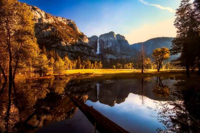
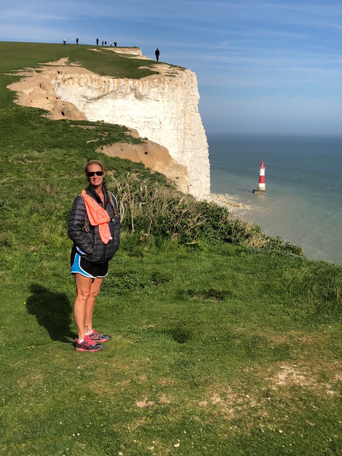
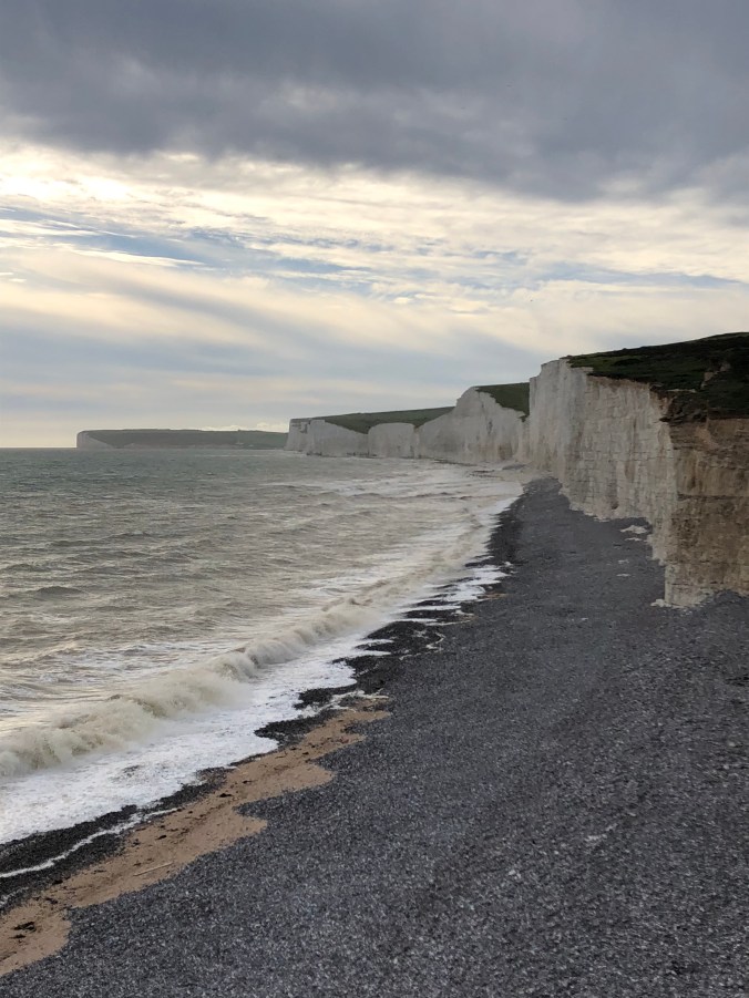
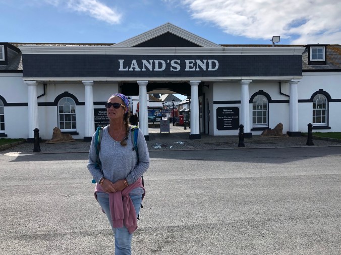
With a new year looming on the horizon, after the impending holidays, I can’t help but to look back at what a year I have had with friends and family.  I am feeling blessed. I also feel that time goes by way to fast as you and I are enmeshed in our lives tending to what needs attention, just living and looking forward to the next big adventure (if you have one on the books).   After  England I set out to do last-minute preps for the through-hike planned for 5 of us from Echo Summit to Yosemite. The highlight would have been the full moon summit on Half Dome but it never came to fruition.

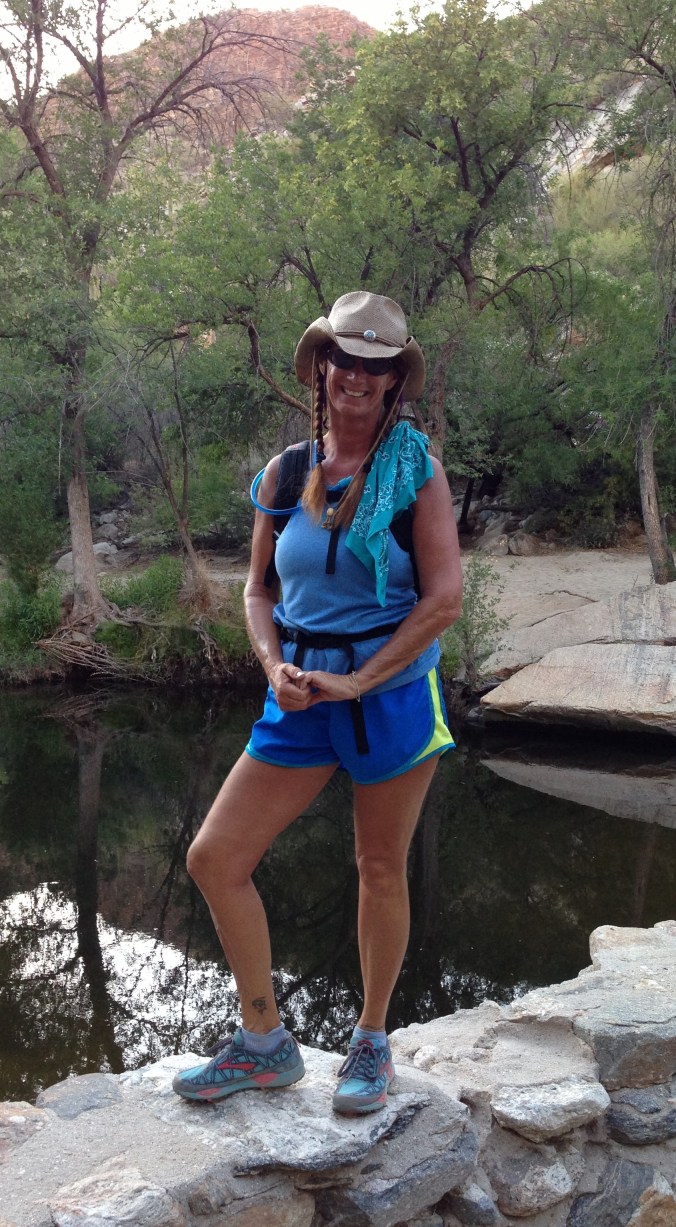
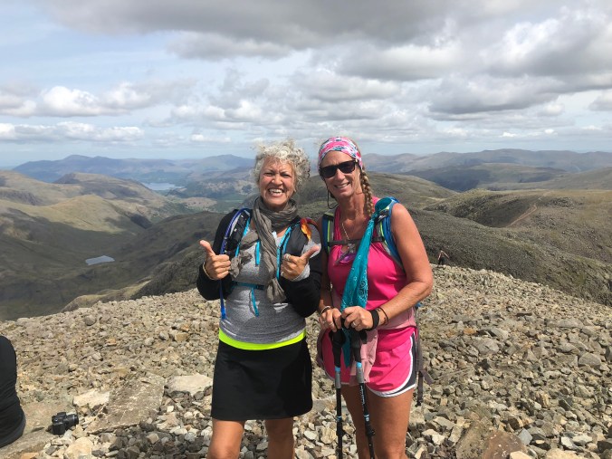
With help from an old friend who picked us up in Yosemite where we parked. She and her “trail angel” friend Kelley, drove Gina and I to Echo Summit to start on the PCT  (Pacific Crest Trail) trail heading south to Sonora Pass where we meet up with 3 more friends who were all going to finish the last week with us heading to Yosemite. Gina and I started with our 50 pound backpacks with high hopes we had everything we would need for the next week until we met up with the others who had food resupply and a clean change of clothes for us. Little did we know what we were getting into together, but off we went with lofty ideas.

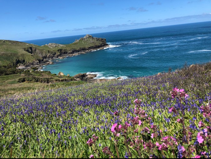
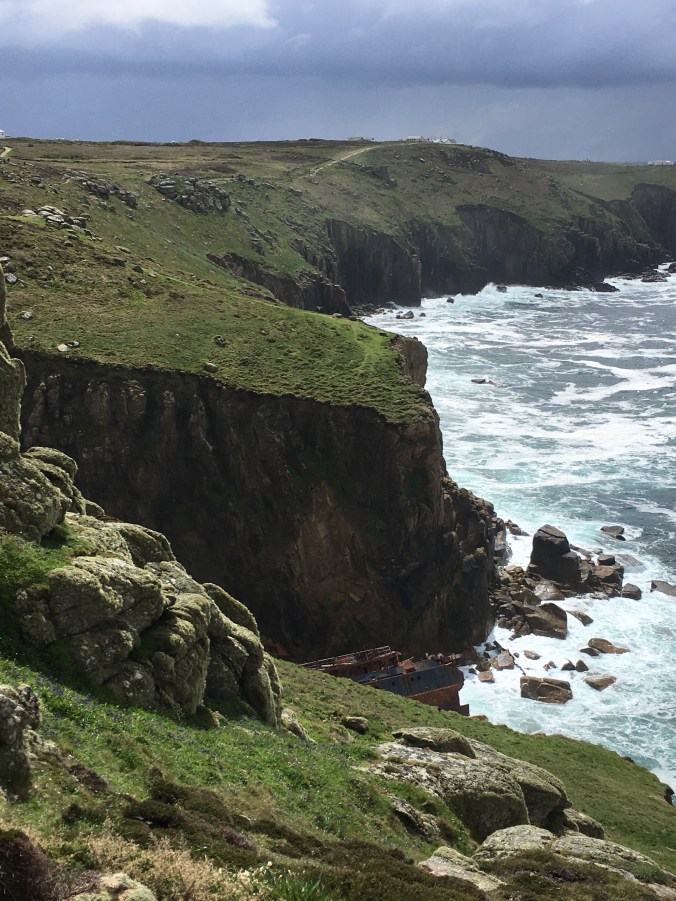
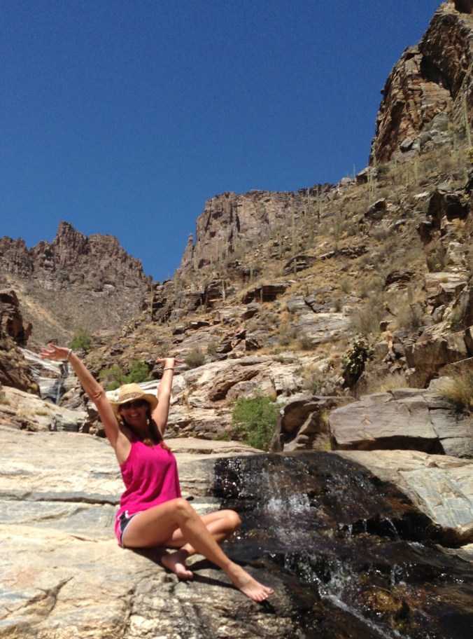
The beauty of the trail and the surrounding wilderness can’t be beat. It didn’t take me long to realize all over again why I LOVE TO HIKE! All the hard work and thought that went to into preparing my body would pay off on the challenging inclines. We would have many summits with Half Dome being the ultimate goal. The preparation in food for 14 days on the trail including snacks that keep the body moving even when it would rather stop including the almighty Clif Bloks and electrolytes for our water  for the elevation gains that could kick your butts.

With the first night on the trail with only a few miles hiked in we set camp with high hopes for the rest of our adventure. The feelings I felt to be in the wilderness soothed my soul and fed my spirit. I wasn’t sure how Gina was feeling but I was on a hiking high and excited to keep moving in the morning. No tough elevations presented themselves until the fourth day which proved to be a challenge to both of us. The incline stared us in the face and we “Bloked” up and hit it. Unfortunately, the elevation effected Gina negatively and made her  sick. The worst part was our location on the side of a mountain that was 4000 feet down and past the twenety-inch-trail cut into the side of  the mountain it continued to rise over our heads another 3 to 4 thousand feet. We had little room to navigate and could see the trail for miles ahead still cutting a small path along the mountainside.

The night before we had camped at a beautiful lake surrounded by granite boulders and a thick forest. We thought we smelt smoke but were unsure. By the time the sun was setting the sky looked smoke-filled and the smell was far more evident. I have a 2-way Inreach satellite phone and my son had sent a text stating that we were headed straight into a fire burning miles south of us. My response was please keep us informed as to the status because the only ears and eyes I had to the outside world would be his updates on the fire. The day hike on the fourth day did smell of smoke as we went south but not too bad. What was bad was how Gina was feeling and the trail that was not giving us a break. We didn’t intend to hike 21 miles on a that day but that was a stretch of trail we didn’t plan on especially with Gina not feeling well. We took several long breaks to re-charge and re-group during the day and one break ended badly for me. How I managed to trip and fall is of no surprise to me. With trail fatigue setting in from such a long day hiking my foot failed to lift over a tree root and BOOM! I was down with my pack on my back. It is amazing how quickly the momentum of a fall takes over . The pack is not your friend during a fall. I did feel that of all the places I could fall, I fell in the safest place possible. If it had been elsewhere I could have gone down thousands of feet into the depth of the valleys I couldn’t see from the trail. A little blood, the need for re-adjusting my pack and a lot of laughter propelled me forward to the spot we finally decided was flat enough to pitch camp and call it a day.  Gina was still recovering from a really rough day and her appetite poor at best  making it difficult to muster any energy to continue on let alone set camp.

IMG_1034The smoke was filling the air a bit thicker and the smell was defiantly present. The fire certainly was a worry as we were walking right into it. During the fifth night I received a text from my son that his biological father had passed away. I laid in my tent, taking everything into consideration and made a decision. I needed to go home to be with my son. So the morning of  day 6  Gina and I agreed we would bail off the trail at the next highway crossing and hitchhike back to Yosemite. We had hiked in about 65-70 miles. We needed to let our friends know that the conditions were worsening on the trail with the smoke and that the fire would be changing our plans. We got out to highway 4 that meets up to 89 which would take us back out to 395. We got to the highway and met up with some PCTer’s moving north. They were complaining of the air conditions south of where we were and said that others were bailing off the trail as well due to breathing difficulties. This confirmed our decision to be the right one. We stuck our thumbs out in hopes of a ride. Many, many, many drive-bys went passed. We kept walking in the direction of highway 89. Finally a guy drinking beer in a tyed-dye, brightly colored shirt and dirty gray sweats with a white poodle on his lap stopped. He began asking us where we were going, were we came from and why. Fortunately, we had befriended a young man off the PCT who was headed to Markleeville for resupply and he did most of the talking. ‘Beggars can’t be choosy’ so we ended up in the bed of the guys truck with our backpacks. The PCTer sat in the cab with the driver who agreed to take us to highway 89. He gave us a beer and a bag of Doritos’ ….which were yummy!

He went above and beyond as he drove us all the way to highway 395. After our hour plus ride we hopped out and flipped our thumbs as we walked the busy highway. Semi’s sped by with cars and RV’s in the traffic too. It was hot. The black top didn’t make it any better. A beautiful motor home drove past and we both looked at each other. Gina said, “There’s no way they would stop for us”. And as we kept walking we realized it did stop for us. The door opened as a women yelled out, “Hurry up ladies….run!!!” We did. As soon as we got to the motor home door the women said, “I told my husband stop this thing…those women are my age…we need to give them a ride”. And her husband piped in saying, “I had backpacked a lot in my younger years and always wondered why no would stop for a backpacking hitch hiker. I said to myself…. I will always stop for them, as I wish they had for me”.  Wow…..I’m pretty sure Gina and I were both thinking how lucky could we were. The motor home was cooled with AC and comfortable with leather interior. Both Darlene and Jim, a retired couple traveling from the east looking for a place to call home that would be closer to their two daughters, who both relocated on the west coast, couldn’t be more lovely or generous. We stopped in Bishop to wonder around, fill up with diesel and get lunch. They offered to drive us into Yosemite if we went with them farther south to get a rental car since their RV was too large to go over Tioga Pass.

After lunch we loaded up and headed  farther south. They pulled into the mobile station at Lee Vining to let us out and for our good byes. They were so kind we were sad to say adios, but we did. We went back into our hitch hiking mode as we walked back out to the highway with our thumbs out hoping for a ride. A white van with no windows in the back stopped. My head was thinking trouble but they pulled over and opened the slider side door asking where we were headed. We stated Yosemite visitor center was where our truck was parked. The van held 3 young adults with dreadlocks and the smell of marijuana as perfume. We accepted the ride and sat in the back on a plywood raised bed with only a sleeping bag for padding while another young lady sat Indian style on a octagon dark wood heavy side table. The male driver and female passenger in front seemed to be a couple. Their music was playing while incense burnt. They were friendly folk who all worked seasonally in the Yosemite. They had a day off work and drove out of the valley to go grocery shopping. Lots of small talk about the fire took place and then they asked if we minded if they smoked. We said “sure”. Up went the windows and out came the joint. We were “hot boxed’ all the way to the truck.

We offered them gas money and they took it. Laurie had given me $20 when she  had dropped us off at Echo Summit. I had thought, “Why do I need money on a trail?” ….but hey….I did. Thank you Laurie, that worked out perfect. Great thanks to all who helped get us back to the truck after 158 miles of highway hitch hiking. What an adventure that we didn’t plan on. We contacted the other girls who were to meet up with us and told them we are off the trail and the fire was too big making the conditions unsafe to breath. Thankfully, they had a plan “B”. Gina and I made it to Tucson in record time, ultimately disappointed that what we had thought we would complete came to an abrupt end. We were safe, so it was all good. Of course, Gwen and I are planning another hundred plus mile hike for 2019 with a prayer we will make it! I was back home for a brief time before the Alaska adventure started which I will blog about next.

Hiking the UK in May 2018

There was a lot of planning for the adventure of hitting the trails with my friend who lives in England. Su had taken up hiking in the last couple of years enjoying the desert and all its beauty while on her annual extended stays to Tucson. But she had yet to trek the trails in England…until this May. Spring seemed like the best time to go given the UK weather. We could only hope for good weather since the typical English default weather is grey skies with rain. As we researched the hiking, there was a lot to choose from, we couldn’t choose, so we decided to rent a motor-home and try to hit all the hiking highlights in England. Not ever hiking in England before, I figured we could learn as we go.

IMG_3081

Lighthouse on Seven Sisters hike in Sussex, England

IMG_3118

White cliffs of chalk along the Seven Sisters hike-Sussex, England

We decided to start our adventure south of London in Sussex, near the white cliffs of Dover. We hiked Seven Sisters, which were high rolling grass covered hills that dropped abruptly off to high cliffs of exposed white chalk all the way down to pebbled covered beaches with dark blue waves rolling in. My first impression of “hiking” in England was that it would be easy. I had researched a lot and no elevation was higher or greater than 4413′. I thought after climbing Mt. Whitney at 14,508′ hiking in England would be a walk in the park. Especially judging from our first hike. It seemed easy. I didn’t even use my sticks.

IMG_3151

Durdle Door-limestone arch on the Jurassic Coast near Lulworth in Dorest, England

IMG_3341

Additional arches along the coast at Durdle Door in Dorest, England,

We continued to travel west along the southern coast. We stopped to hike down to see Durdle Door on the Jurassic coast near Lulworth in Dorest. That was a breathtaking view. The landscape became a little sharper in the up and down. Still hills, but not rolling, they were more pronounced. The rock formations stood with strength providing a different look on the coast altogether different when compared to the chalk walls in Essex. The trails were well worn and often filled in with rocks making the path and steps. The beauty of the coast was luring us to explore. And so far, the weather was nothing but blue skies and sunny.
IMG_E4026
We drove farther southwest to a small village called St. Just which was just north of Land’s End. Our goal was to hit sections of the Coastal Path. The Coastal Path in England will be the longest managed and way marked coastal path in the world. When complete, it will be 2,795 miles in length. The weather was a bit rough the day we hiked to Land’s End. The coast was dramatic with rock cliffs and pebbled beaches. The winds picked up and dark clouds came in while the seas were getting rough. It was a great day for wet-suited-surfers out in the surf catching the big waves. We made it to Lands End drenched to the bone. I had hiked in jeans that day because it was a cool when we started. Jeans soak up the rain nicely, as I found out, as I walked with wet and heavy pants for about 6 miles. That day I failed to take my sticks thinking it would be like Sussex and I was wrong. It was a steep and tough trail in some areas.

IMG_4194

Jurassic Coast by Cornwall with wild flowers and incredible blue water

We spent several days in Cornwall camping in a small field filled with green grass and wild flowers situated behind a farm home built in the 1700’s, that was functioning as a bed and breakfast. The village vibes of St. Just and St, Ives, were welcoming with the Pubs all serving fish and chips, Cornish Pasties and local hard cider. There was a special feeling on the Jurassic Coast, one that makes me want to go back again. The next day we headed North and the sun shined on the vibrant wildflowers that decorated the trail. I was hiking in shorts and a t-shirt because the weather was perfect. We did just over 30 miles on the Coastal Path, on three different sections, before we headed up to the Lake District.

IMG_1420

A shipwreck below as we looked out at Land’s End-our destination that day!

The roads leave much to be desired in England. Many are very small, none are straight and the main motorways run more towards the center of the country. So, our journey of 418 miles was over an 8-hour drive. But once we got to the Lake District the long drive had been worth it. It was a completely different terrain than the coast and beautiful in its own right. There are 16 main lakes in the district but there are many water, meres and tarns ( ponds or lakes in the hills) in the area. England is GREEN. Very Green. Every shade of green possible. Given that is was Spring, the blue bells colored the fields in blue and wild flowers splashed color everywhere.

IMG_5913

typical English road just big enough for a single horse carriage-a little out dated with no room to expand

There were plenty of hikes to choose from in the Lake District and we wanted to hit the best. We did Old Man Coniston, which took us through an old mine before we got to the peak. We trekked Scafell Pike which is England’s highest peak at 3,209′ elevation. As we climbed up towards the summit, trees were few and far between. The closer to the peak we climbed there were large rocks of granite covered the hills where we had to scramble for the last mile and half to get to the top of Scafell. Local folk made comment on Scafell Pike hike being boring but Su and I found it to be challenging, technical and beautiful too.

IMG_5635

Top of Scafell Pike-Highest peak in England

(picture above: Helvellyn with snow and the ridge, Stone steps on path)

I was quickly schooled on the fells in the Lake District National Park, Cumbria. The climbs started at sea level so that equated to straight up to the top to reach each summit. My reality became clear in Cumbria that ‘up is up’ and there was nothing but up to get to the top. My idea of ‘not tough hiking in England’ quickly went to the way side as we were challenged on the designated paths that are laid with stone steps that resembled a stairway to heaven on every hike. I was giving internal thanks for all the times I had trained on the stadium stairs because my legs felt strong climbing up. It was the down part that seemed endless and bothered our knees the most. Water falls were common sounds and sights on the trails as were the sheep that grazed in the endless green hills divided into sections with thick rock walls.

IMG_E5436

We lucked out again for our choice of camping in the Lake District. We were in a small caravan park that sat right out side of a village called Hawkshead that had one pub and a couple traditional English restaurants. It had a lovely bakery café that made beautiful cakes and scones, and of course served a variety of teas. I did indulge some in almost every carrot cake I saw, made myself the official taster and justified it with my daily hiking. Every village had a church that stood tall with steeples reaching towards the sky and historical graves surrounding the grounds. We had to stay out of the village centers with the motor-home because it was too wide to drive on the streets. So, we did a lot of walking even when we weren’t hiking.

(picture above: Hawkshead, Cumbria, England-Lake District)

We carried on from Cumbria farther north to Scotland to visit the Wallace Monument, which is my name sake. It was remarkable with lots of reverence towards William Wallace and his part in the Scottish history. It was in Stirling were a huge castle stood above the city. The monument and castle rose above the city on the hills (fells) to give the vantage point in war. They suggested that William Wallace had his strong hold and army on the fell in which the monument was built 500 years after he defeated the English army. We didn’t hike a lot in Stirling, Scotland but we sure did a lot of stair climbing. I honestly lost count of how many stairs we climbed but took it all in stride as continued training for our hikes.

(picture above: Wallace Monument and Wallace Shield)

After leaving Scotland we headed to Hadrian’s Wall. It was built by the Romans who forced 15,000 men to build it, in under six years to cover almost 80 miles. It was a vibrant frontier with multi-culture and commerce for about 300 years. Emperor Hadrian’s order demanded the wall built after he visited Britain in AD 122. The wall was used to stop traders coming to and from the south or north to pay taxes before passing through it. It is the most famous of all the frontiers of the Roman empire making the wall a World Heritage Site in 1987. Again, we just did sections of it, but passed through Sycamore Gap which is the most photographed section of the wall. The hike along the wall was up one fell and down the other side for the length that we hiked along the mile markers of ruins of forts where the tax collector gathered to stop the traders.

(picture above: Hadrian’s Wall and looking down at Sycamore Gap)

All in all, we hiked 160 miles and drove 1677. We saw nothing but beauty, blue skies and sun shine. We ticked off the highest peak in England and set our sights on the triple crown of the UK. We want to summit Ben Nevis in Scotland and Snowdon in Wales. We feel the pull to go back to the Coastal Path and see more of the rugged Jurassic coast. Just going on a whim with little “real” information about hiking in England we were pleased with all our choices. We learned so much about hiking in England while doing it and talking to other hikers. Through hiking in England is a little easier than the USA. We met many who were doing long sections of the Coastal Path and Hadrian’s Wall. They all hiked with day packs and dogs. The through hike secret in the UK is to use Sherpas to transport luggage and dog beds from one B and B to the next for the chosen daily mileage each hiker wanted to make. Maybe next time that will be the way we go too!

IMG_E5898

Blue Bells painting the green blue.

Do you have “that” friend?

Everyone needs at least one friend who says, “Yes”, to their crazy ideas. Maybe, we all take turns being “that” friend. We either come up with the adventure or are willing to go along on it. I thrive on adventure and will do almost anything under the guise of “training” for the next big one! (Thru-hike that is!) I had two friends, both wanting to do Window Rock Trail, but couldn’t do it together, so I went with them both, on back to back days…. great training! I was excited. We were going to Window Rock in the Catalina’s near Tucson. On Saturday, we left out of Ventana Trailhead and on Sunday, we left on Esperero Trailhead in Sabino Canyon.

I met Brenda on Saturday at the trailhead parking lot at 6 a.m. I had my sticks, camel, and snacks.

IMG_1270

Early morning light on Ventana Trail

I was ready to go on round trip trail past Maiden Pools up to 7468’ elevation from the parking lot at 2950’. So, just shy of 5000 foot elevation gain and descent for the 17-mile hike. Off we went…. On one of my favorite trails. The canyon thins after you pass the pools and has beautiful canopies of oak trees that line the winding creek bed. There are Indian grinding stones carved into several of the large boulders that hug the trail close to the creek. The first peek of Window Rock from the trail is slightly daunting as it looks very far away and much higher on the mountain ridge. The desire to get to it wills us up the trail.The climb really starts once you leave the canyon. Up and around the rocky hillside winding its way up switch backs to the ridge.

IMG_1414

Indain Grinding Stone

The first ridge is a false summit. The actual destination is still some ways farther. On the west side of the ridge you can see as far as Pinnacle Peak towards Phoenix and the Biosphere near Oracle. Looking east, the sprawl of Tucson abounds with Kit Peak visible as well a peek into Mexico. AWE! Once you reach the vista the views are framed by the weather-worn huge rock. The views are worth the trek. There is the perfect place for a snack and rest before heading back down the same trail. We ended up back in the parking lot by 4 p.m.

IMG_1319

Looking towards Oracle and Phoenix from the top


IMG_1406

Looking through the Window Rock

I headed home for a light dinner, cuzzi time and early to bed. I was meeting Gina and her 12-year old son, in Sabino Canyon at 7 a.m., to head up the main tram road to get on Esperero Trail. I woke at 5:30 a.m. with enough time for a cup of tea and a bowl of oatmeal. I had prepared my camel and snacks the night before. I also packed 2 additional bottles of water for the hike. My level of excitement was high when we met in the parking lot.

I had never done the entire Esperero Trail and it had been years since I had last been on it. Our goal Window Rock to and from the Sabino Canyon entrance. The Esperero trail started with wide canyons traversing back and forth. After a considerable number of switchbacks, we made it up to the first vista. There were magnificent views, but we kept on into a grassy valley that led us into a wooded area. The trail became more interesting after that as there were huge pine trees, oaks and giant junipers. The trail meandered along a creek bed with huge boulders. The creek was wide with several areas of falls, had there been water. Past the last large fall area, there was a large campfire ring and a campsite, and the trail looked less traveled. It grew much thinner and overgrown as we continued up the mountain side. The trail often looked no better than a game trail which sent us off the wrong direction at times. My feelings and excitement about the trail was changing as we continued. I was beginning to have doubts about returning on the same trail.

We passed over several false rocky summits and had to scramble to continue in some places. The trail was a challenge. Finally, we made it to top ridge that we had to stay on for a distance to get to the window. At one point, the brush surrounded us and was taller than me. We heard branches breaking a head of us. We called out for a human response and heard only more branches break. Whatever animal was near-it was BIG! We stopped in our tracks and started to make lots of loud noises. We stopped. We listened. We didn’t hear it again, so we pressed on. My admiration for Gina’s son grew as we continued. He had perseverance. He was fearless and didn’t complain once. When we reached the window, we were all a bit weary.

IMG_1315

At the top-Window Rock

We ate our second snack and soaked in the views. Our feet rested as we sat in silence. We then started to take photos and got a case of the giggles. We were tired. We had already covered 13 miles. If we took the same trail back it would have been 26 miles total. Or we could opt for the Ventana trail at a mere 9-mile exit. We voted for Ventana and knew we had to beat the dark to the parking lot. We started down with a good pace, but we were all three tired. When Gina got phone service she called her husband to ask him to retrieve us from the trailhead at Ventana and transport us to our waiting trucks in Sabino Canyons parking lot.

IMG_1419

Trying to beat the dark to the parking lot

Timing was perfect. We made it off the trail into the parking lot right at dusk. It was 6:30 p.m. And as we walked onto the black top Gina’s husband pulled up, ready to take us to Sabino. Wow! We made it. A long day hike – all 21 miles of it! That was a GREAT training weekend for our upcoming thru-hike. I’d do it again in a heartbeat. Weekend adventures with friends are the Best! Do you have “that” friend who says ‘yes’ to your ideas? I’m so glad my friends are “that” for me!

-Kat

PS. Next 21 mile day hike is Romero Pools in Catalina State Park to Sabino Canyon via Hutches Pools. That is Gina’s idea and I said “Yes”. Wanna come?


Wanderlust: A very strong or irresistible impulse to travel or wander

297
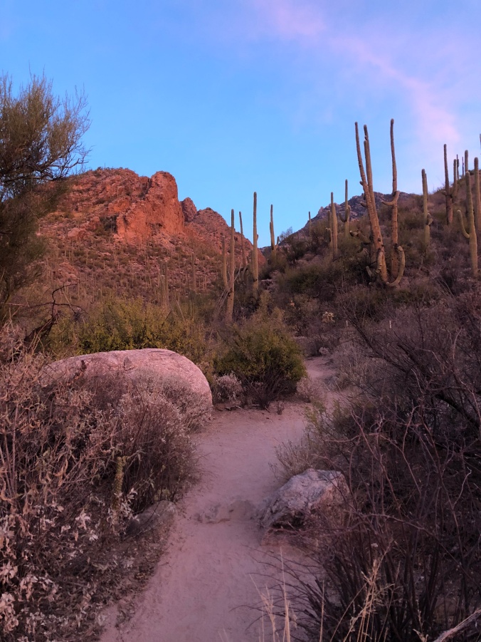
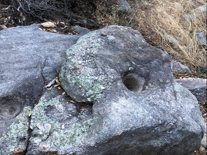
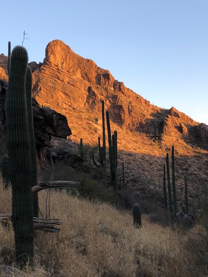
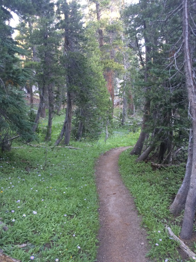
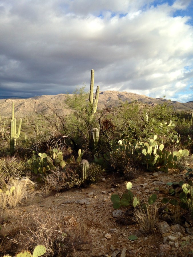
I have THAT! Do you? It has been a life-long condition for me. I’m not sure there is a cure (nor do I want one). I have immediate and affordable remedies that help the ailment on a day to day basis. My first aid to the never-ending desire is to ‘HIKE’: being outside in nature releases some of the irresistible feelings of that “gotta go” sensation for me. Exploring your neighborhood to the local trails can curb some of the desire. I’ve lived in Tucson for almost 30 years and I continue to find “new-to-me” trails that sound just as exciting as the regular ones I always hike. Just a little bit of time and research can bring you to different destinations that will allow the desire to explore to flourish.

That wanderlust feeling creeps into my head and heart often and usually I start to set my sights on far-away places. Of late I have been taking a deep breath and refocusing on closer areas in Tucson or Arizona to satisfy the impulse. There are a lot of exciting places to discover  within minutes or a couple hours distance in the state. I bet it is true for you as well if you just did a little research to see what exists near you. Social media has assisted my search for the exposure to locations around Tucson and Arizona. Facebook hiking groups from Tucson and all of Arizona consistently add new destinations of wonder that I hadn’t heard about that are added to my growing list of must -sees!

Some where in my mind as long as I have a plan to go investigate a new location the bubbling feelings of wanderlust calms down. The desire to learn something new, be exposed to a different area or find an incredible hidden gem all propel the wanderlust in me. If you too have such an infliction you might try my remedies. Investigate your immediate areas by foot or by bike. Tucson just added a new leg of the already existing bike trail.  It connected existing parts of the trail making for longer distances easier to travel. Does your town have a bike trail?

At my age I have come to accept the feelings that float inside me. I continue to try to appease myself with budget friendly solutions. Hiking and biking my own town and surrounding areas can be the answer. It takes less planning and has immediate gratification. The familiarity you ultimately end up with adds to the comfort you can feel calling your town your home. I love Tucson and the surrounding areas that continue to surprise me with such unique beauty. I’m thankful I live in a place where my wanderlust compulsion can be satisfied.IMG_1176[1]

Honestly, it doesn’t mean I don’t dream of far-away places……it just means that while I’m in town I don’t need to stay in one place. GO explore!

-Kat

Be wise….Be bright!


009.jpg
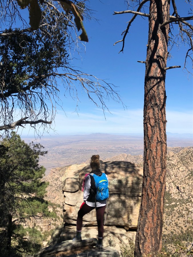
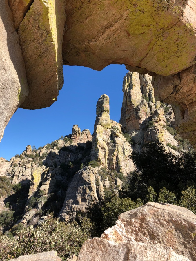
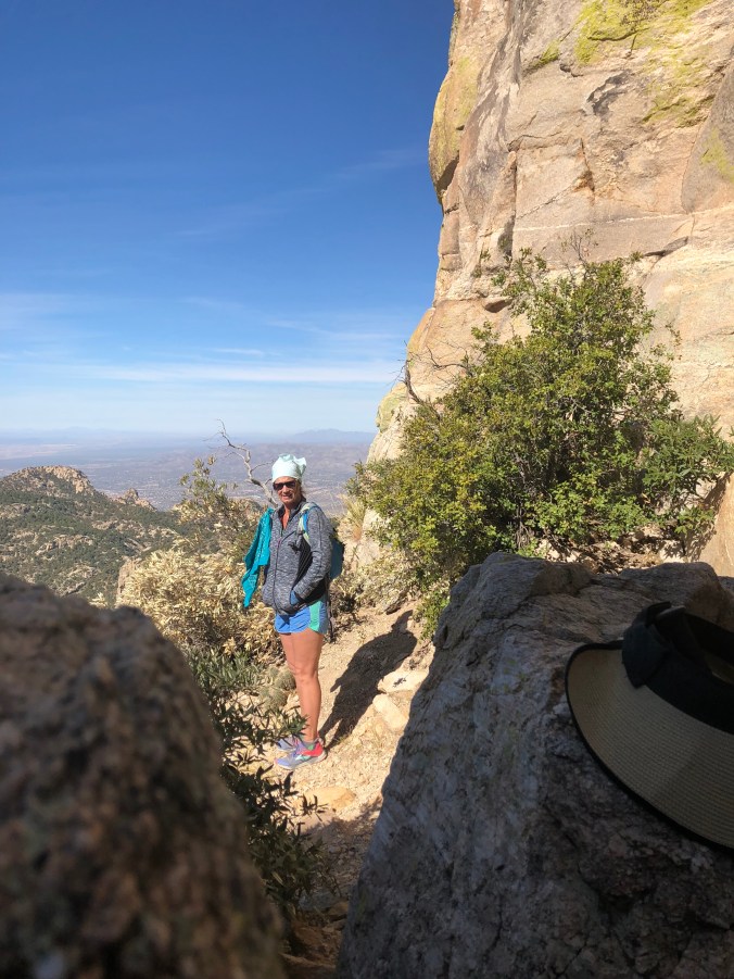
I love to hike. I used to trail run every day now I hike every day and occasionally run. Living Tucson and in the high country of  the White Mountains of  Arizona allows me to have two very different and diverse places to explore. I see it as a blessing. I try to take advantage of each diverse location. As all of us hikers know it’s true …. something magical happens to us when we are out in wide open outdoor spaces surrounded by nature. I feel as if I am part of the environment I am exploring and just soak it all up.

Sadly, something happens far more frequently in the desert than in other areas where hikers explore. It seems that every year a few solo hikers goes missing. As I am out on the trails, often by myself, I try to be as proactive as possible always thinking safety first. The desert can be very harsh, to say the least, to any visitor. The temperatures can be extreme as well as the risk of venomous reptiles. I take plenty of water, make sure my phone is fully charged (find my iPhone down loaded), have snacks, a whistle, a sharpie and always let someone know where I’ll be hiking or running. But what I DO NOT do is dress like every other khaki wearing hiker, even the forest service wears khaki clothing with a shade of green. I understand that light colored clothing absorbs less heat in the hot sun, but it does nothing to assist you if you are lost. So, I dress like an Easter egg.

I dress bright…. Really bright. I prefer to wear running shorts and tank tops. I occasionally will wear a hat. And fortunately, the trail runner shoes I love are also brightly colored. Why you might ask? Well….my motto became very clear inside my head as I hiked on the trails that the missing solo hiker were said to have been on a couple years ago. I secretly prayed for them to be found….by someone other than myself. But continued to think why it was taking so long to find the missing hiker. My conclusion was always what they were wearing. Those Khaki or desert colored clothes allowed the person to blend in the desert instead of strand out. So, my motto then had significance. BE WISE … BE BRIGHT … BE FOUND THE FIRST NIGHT! Why not be really bright out there against the brown and light green landscape of the desert?

I believe in my motto so much I tell fellow hikers and runners who are also solo when we stop to exchange pleasantries on the trail. For some reason, I am often stopped by others to ask for directions on the trail. I usually know the trails very well and can give direction at which time I also divulge my motto. “Be wise…be bright…be found the first night!” The trails are supposed to be happy places for every hiker regardless of skill level. Proper trail knowledge and safety precautions are often over looked by the frequent visitors to the Sonoran Desert with unfamiliar conditions. Water, sunscreen, trail map, snacks and BRIGHT COLORED clothes can save your life in the desert.

I dress like an Easter egg in the mountains too, just to be safe. But hikers or runners going missing in the high country is rare. I’m not sure why that is true, but it is. Although I know many people cautiously dress with bright colors, so they are not accidently shot by a hunter in the woods. Maybe less people are out in the woods? Or the woods don’t have the dangerous conditions of the desert such as the likelihood of being dehydrated? I’m not sure but ‘safety is first’ where ever I am, and I will always BE WISE and dress very BRIGHT. I am often solo (because my hiking buddies work during the week) I want to be found the FIRST NIGHT!

Hope to see your bright self out there soon!

-Kat

036.jpg

What is the allure?

pexels-photo-533881.jpeg

There is a power that continues to call us to the wild. The wilderness wildness has a virtue that speaks to our souls. We are planning our next adventure into the depths of the Sierra Nevada’s on a 152-mile trek in July 2018. We are attempting to get our permits for Yosemite, desiring a final rush of hiking the epic Half Dome to conclude our hike.


But if we can’t finish there, we are wanting to at least start in Yosemite trying to squeeze in the chains of Half Dome before pushing Northbound to Meeks Bay of Lake Tahoe. After completing our John Muir trek apparently our enthusiasm became contagious and there are now three more women wanting to pursue the outdoor world of thru-hiking this summer with us on a section of the Pacific Crest Trail (PCT). Our direction will be northbound or southbound depending on what permits we get through Yosemite (that’s a whole story and process in and of itself).

The first ‘planning’ meeting took place in a booth in a bar (that was a bad idea-definitely not the best call so far). It was difficult to hear each other but we got to the permit forms and the process was explained. I brought all three maps out and had highlighted the PCT trail we plan to traverse. It is a little daunting to look at maps encompassing several different wilderness areas and follow your finger on the trail that goes top to bottom of the whole map-that’s a lot of HIKING! We started to discuss gear and food but figured it would be best to have an additional meeting, not in bar, to discuss both in detail. The other three women have done a lot of day hiking and some over nights but never gone for a long thru-hike. Hopefully, some of what Gwen and I learned on the John Muir Trail will be of benefit.

We are all over fifty and the allure of such an adventure could have been percolating in each of us for years just waiting for the right moment in time for all things to be perfectly aligned for July 2018 to be a thru-hike we will all do together. Our lives have all been very different and yet similar. We have all been wives, some more than once, some still are. Two of us are widows. We are all moms with ages of our children ranging from 12 to 35. Some of us work and some of us don’t but we all love to hike. We are approaching the planning of our thru-hike with experience and determination to be as prepared as possible. As always, the little motto is being repeated “grams equal ounces, ounces equal pounds and pounds equal pain”. Our preparation for our trip includes physical training too. We meet at least once a week to work out together running the stadium stairs. And we try to hike together on a weekly basis also.

Living in Arizona is a blessing in the winter because the weather lends itself to being outside. We can hike in comfort and train on trails while using our “Alltrails” app on our phones. There are so many trails available in the Tucson area and using the All Trails app makes finding them and staying on them a lot easier. Gone are the days of a compass and a lot of guessing. Rock cairns are so beneficial but not always present. Using a user-friendly app takes the worry out of getting lost while getting familiar with new trails. Exploring Arizona is an endless task and “ExploreArizona” on Instagram provides inspiration for new beautiful places to be examined while hiking with ‘training’ as the pretense. From the desert floors with the Sonoran flora to the mountain tops covered in Pondarosa Pines the diverse ecosystems and topography of Arizona continues to provide diversity to our hiking adventures. Explore Arizona on Instagram consistently provides photographs of “have to see” places in our incredible state. pexels-photo-154140.jpeg

With a Grand Canyon hike coming next month it will give us a good gauge as to how far we have come in our physical training goals. March is planned with another trek to Northern Arizona around the Page area for day hiking. We are hoping to hit the Vermillion Cliffs, Coyote Bluffs, Horseshoe Bend, Antelope Canyon and sneak into Utah for a day trip to Escalante Grand Staircase for one more day hike. We all agree that thru-hikes justify day hikes and that any hike feeds our souls through walking on our soles! W

I’ll keep posting in our planning in hopes to inspire and share information at the same time.

Hike on….

-Kat